Home / Free Visualisation Tools for Urban Mobility Planning: Beginners

Free Visualisation Tools for Urban Mobility Planning: Beginners

Current Status
Not Enrolled
Price
Free
Get Started

Welcome to our short online course ‘‘Free Visualisation Tools for Urban Mobility Planning”! This is the first in a series of short free online courses developed in collaboration between EIT Urban Mobility and Humankind.

By gaining some basic visualisation skills, you will be able to bring your ideas to a broader audience.

In the following short course, you will learn how to use Sketchup and Google Earth to create your own street and public space design. These are free online tools, so you don’t need anything except a modern web browser. You will visualise a street intervention and export it in a nice style.

This is the first course in the series, and is aimed at urbanists who have no experience with Sketchup. We will explain exactly what to do from scratch and teach you through all the steps. After that you will come into play – just explore the tools! That’s the only way to really learn.

Modules

1 module

Recommended schedule

1 day / 4 hours

Total video length

±1 hour


Instructor

Picture of Lior Steinberg

Lior Steinberg

Lior helps cities to look beyond functionality and to plan urban spaces that make people smile. His specialty is the multidisciplinary approach to urban planning and bicycle plans: it is never only about infrastructure, but also the quality of life, urban design, politics, communications, and many more. He worked on bicycle strategies and plans in different countries, like Tel Aviv’s bicycle strategy and Rotterdam’s bicycle vision.

Who is this course for?

  • Urban planners, mobility planners, policy-makers, decision-makers, and other urban professionals with non or limited knowledge of visualisation tools.
  • Urbanists willing to improve their design skills.
  • Students eager to learn more about urbanism.

What will you learn?

  • The basics of SketchUp for Web: drawing, modeling, working with elements, and exporting you work.
  • The basics of Google Earth.
  • Visualise an urban environment (street level).
  • Visualise a tactical intervention (bike lanes and parklets)

Trailer

Free & Paid Options

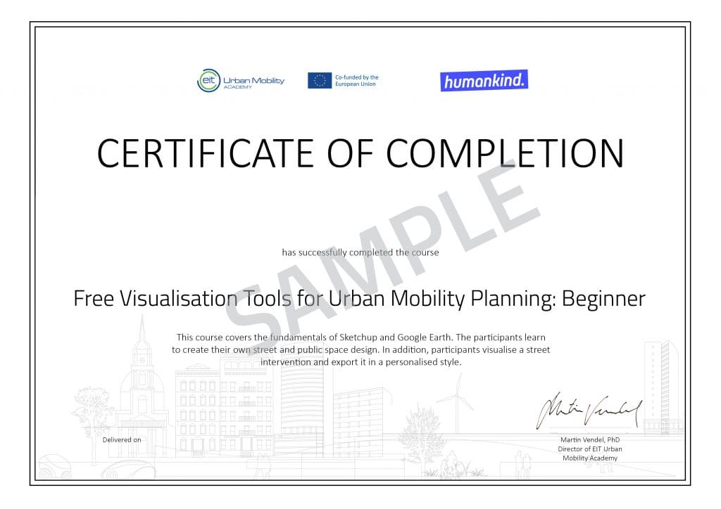
You can access and participate in the course for free. If you want to earn a  certificate upon completion, you can purchase it. The certificate will be accessible only once the course is successfully completed. Read more here.

What Urban Professionals Have to Say

This is a wonderful resource for bicycle advocacy and activism organizations like ourselves.
Carolina Cristina Griggs
AMOBICI
This is a very nice introductory course for visualizing concept of new interventions of urban designs.
Kuan-Yeh, Chou
Technical University of Denmark
Excellent course for learning how to use Google Earth and Sketchup quickly! Sketchup especially can be overwhelming to use for the first time. I also loved the instructor's emphasis on not being too specific with the details since it's only a visualization. After taking this course, I already have ideas on how to create interventions and designs for my own streets.
Anonymous

Ratings and Reviews

4.5
Avg. Rating
2 Ratings
5
1
4
1
3
0
2
0
1
0
What's your experience? We'd love to know!
ABHISHEK VAIJALE
Posted 4 weeks ago
Empowered to Shape My City: Lessons from Urban Mobility Visualization

This course gave me a good start in using SketchUp to visualize my ideas for improving urban mobility. Instead of just wishing for a more walkable neighborhood with better bike lanes, I am excited to get my hands-on and practice implementing the "should-have-beens" I've dreamt of by practicing with SketchUp on my neighborhood area.

×
Preview Image
Daniel Hermida Ávila
Posted 4 weeks ago
Tutor muy agradable

Como punto negativo, pensé que la aplicación permitiría desplazamiento por el modelo para usar en presentación

×
Preview Image
Show more reviews
What's your experience? We'd love to know!
Shopping Cart
Scroll to Top