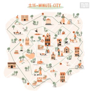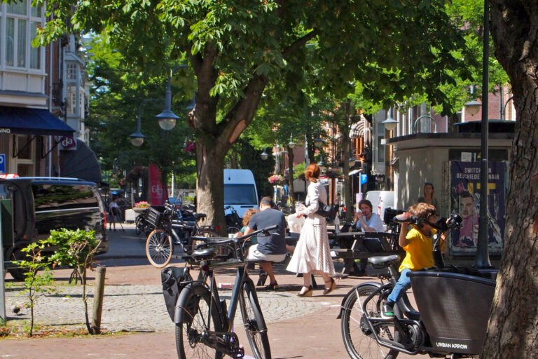
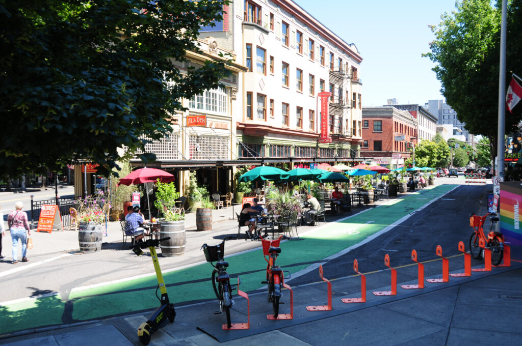
Whether you call it the curb or the “kerb,” the sliver of public space that separates vehicles and pedestrians is where action tends to take place in cities. No wonder the curbside is in such hot demand for parking, unloading, cycling, walking… and now playing and dining, too, thanks to physical street transformations like car-free zones and tactical urbanism.
The curb doesn’t look like it used to anymore, nor do the rest of our cities for that matter either as we transition more and more into digitalisation. So what kinds of digital tools can we lean on to be more strategic and dynamic in how we manage our public space?
We spoke with Iskandar Tange, CEO of Coding the Curbs and author of our free and recently updated course on Flexible Curbside Management to help us understand the role of digitisation in creating dynamic curbside solutions and how they enhance the overall efficiency and accessibility of urban mobility.
The one-two punch: communicate and measure
You’ve likely heard about the “concrete jungle” but how about the “traffic sign jungle”? That’s what Iskandar called the old way of doing things in cities. “Digitalisation,” he explained, “enables cities to communicate, for example, time frames or functions through apps to people,” like geofenced conditions in mobility as a service (MaaS). He added that the measurement component of apps is critical. “Through connected apps, we can measure important factors like the amount of vehicles and duration of parking. We do not need to install sensors anymore.” These are the questions that city governments must answer for optimal curbside management.
In this vein, Iskandar highlighted how new shared mobility companies latched onto the “innovation hype curve” by running everything by app from the get-go. However, it wasn’t until they looked at their data that we could see their effects on the curbside. He said that in the beginning, “It was all free-floating, with electric scooters and mopeds scattered everywhere, and cities didn’t know how to handle it.” Once policy made it mandatory to share where vehicles were parked, some companies and cities decided to enable geofencing to prevent scooters from being parked “rogue,” for example, in the middle of busy areas. These policy changes also resulted in cities like Rotterdam and Lisbon eventually choosing to establish shared mobility hubs based on the data coming in from their citizens.
Which stakeholders face the most barriers?
While stakeholders are already thriving with digitisation on the curbside, others are struggling. Iskandar shared that there are some companies that “create dashboarding and connect all the data streams, but cities often don’t know how to handle it because they’ve been organised around the non-digital world.” Digital twins fall flat in cities that don’t yet have the capacity to dive into mobility data and insights, a setback that stifles the development of effective new policies for our curbsides.
One sector that’s particularly in need of help? Logistics. As Iskandar pointed out, “one out of three vehicles in a city is logistics related but there’s almost no city in Europe that knows how many vehicles are going into the city every day. We don’t have a clue as to how many vehicles are passing through, where and when they are standing still” to load and unload. Furthermore, whereas logistics is dominated by a few companies in North America, Europe has hundreds of smaller players, resulting in fragmented data. The Netherlands is working on national mobility data portals to centralise this data, but as Iskandar explained, “innovation in the governmental realm goes slowly” Until then, we’ll never know how to effectively manage logistics vehicles on our curbsides.
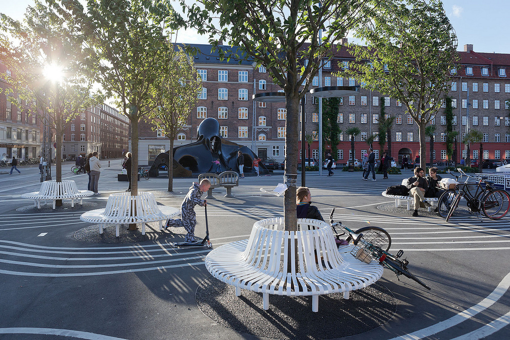
However, more important than vehicles are actual citizens. As Iskandar emphasised, “we often forget that a lot of people don’t have access to good mobility.” While data can identify areas of less accessibility to transportation (mobility poverty), people with reduced mobility, such as those with disabilities like wheelchairs, are still at risk of being left out. “One of the things that I find lacking at the curbside,” he noted, “is that it’s often so polluted with bicycles, scooters and cars that the city has become less livable for elderly and disabled people.” He urged governments to take a stance and push through changes, like Barcelona’s superblocks, which leaned on mobility data to not only reduce pollution by closing streets off to car traffic but also reduce the curb height itself to zero, making it much easier for people with reduced mobility to get around.
Put people first using qualitative data
The push to make cities less about vehicles and more about people was a central feature of Jane Jacobs’ seminal book, The Death and Life of Great American Cities. “What’s timeless about her work,” explained Iskandar, “is that she talks about the curbside and the spontaneous interactions and incidents that happen there. That’s where the real value is, and it’s non-digital.” In other words, while the technology of her day was limited to vehicles, Jane Jacobs was ultimately preaching for flexible curbside management, and architects like Jan Gehl have followed in her footsteps. “Even though we’ve got all the possibilities of digital tools,” said Iskandar, “we should never forget that it’s about the people.” What about digital tools that can bring people together?
That’s where the quantitative data comes in. We already have quantitative data about mobility, but it must be complemented by data analyses of how residents and other stakeholders feel about their city. “Call me old fashioned,” remarked Iskandar, “but I truly believe that the best way is to really talk to people. Design engineering is mainly about understanding people and their needs. Co-creation with local businesses and local residents is the best way to do that because they know their streets best. They are like the sensors of the street.” His company works on projects in this capacity, and he’s also a fan of Citizen Dialog Kit (CDK), which install wireless, interactive screens on streets where individuals walking by can give their feedback.
Looking into (and up at) the future
There’s also the potential for how digital tools could help entire communities, especially in big cities, take back control of the street. “Going through local WhatsApp groups to petition for a greener square takes a long time to push through to our municipal government,” Iskandar admitted. “Instead, I think digital tools could help us speed up the process and make it more flexible, dynamic and direct.” He admitted that this is the direction he wants his own company to go at some point. “I find it strange that, just like my house, my street is also part of where I live but I’m dependent on what a city official determined 40 years ago, even though our needs have changed over time. Maybe there are more kids and we want more room for them to play.” If digital tools could help us change the layout and design of our streets, it could help citizens take ownership again.
Iskandar also shared some lofty ideas about where tech-driven curbside management is headed. “While parcel delivery by drone is too far-fetched, I do believe in drones for logistics on top of buildings.” He mentioned cities like Chicago, where there are a lot of tall buildings whose roofs are currently going untapped as potential public spaces. That would free up the space down below at the street level for active mobility and the spontaneous interactions that happen there. He encouraged cities to think in three dimensions in general: “Right now, everything is 2D. But we have space on top and in the air, and new solutions that deal with 3D will be super interesting.” In the meantime, though, the air in many cities remains polluted, which is why tools that foster sustainability are much needed in our urban spaces, at the curbside and beyond.

Adina Rose Levin
Adina Levin was born and raised in Chicago, and clocked in over 10 years in New York City before moving to Barcelona. As a freelance writer and creative strategist, she explores cities, culture, media and tech.

Iskandar Tange
Iskandar Tange is the CEO & Co-founder of Coding the Curbs, founded in 2020 as a collaboration between The Future Mobility Network and Elemental.